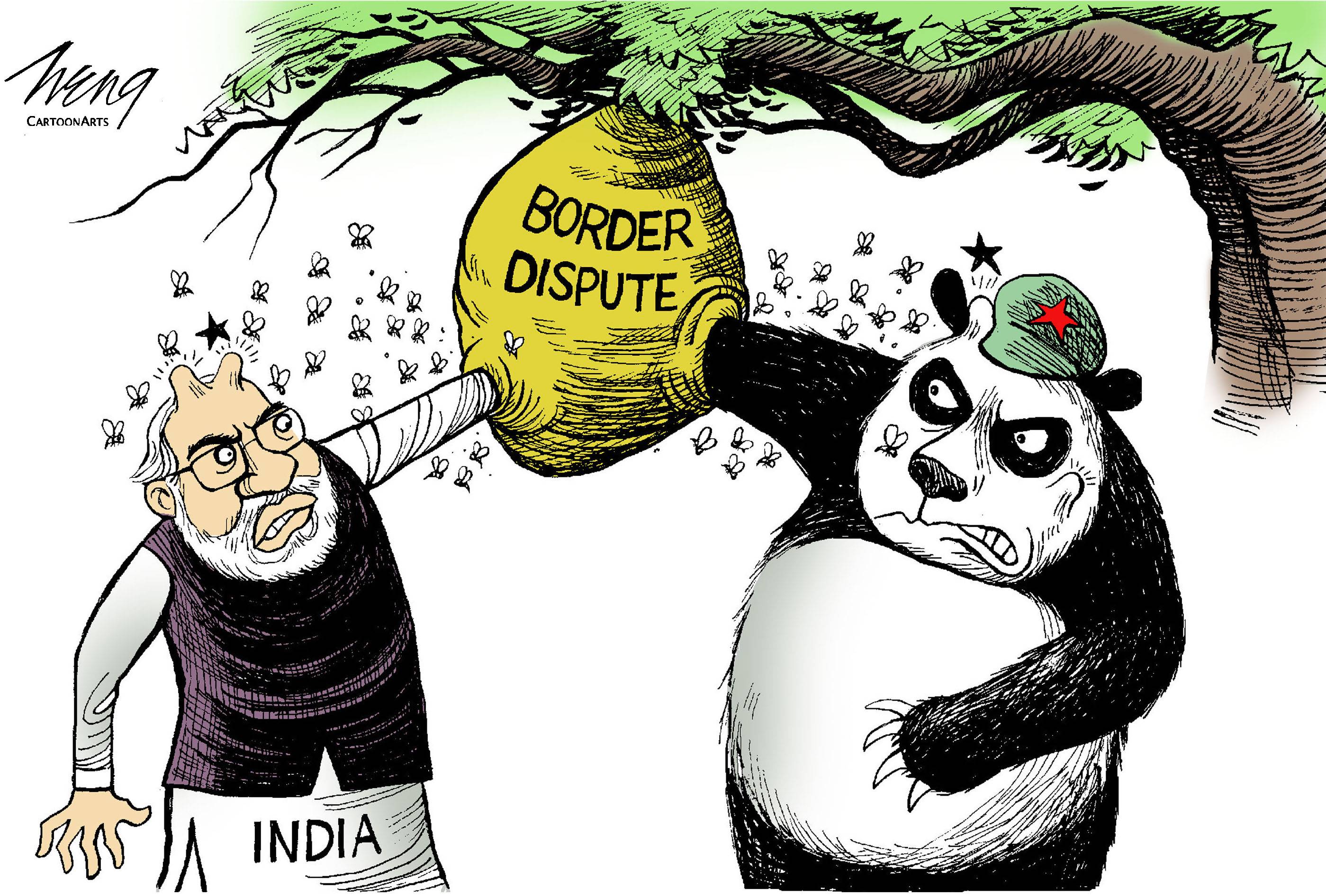
Albert Einstein said while he didn’t know the weapons to be used in World War III in the nuclear age, the war after “will be fought with sticks and stones.” In an already surreal 2020, we’ve witnessed two nuclear-armed neighbors fighting with fists, rocks and nail-studded clubs at an altitude of 4,250 meters. On June 15, 20 Indian soldiers were killed and 66 injured; Indian estimates put Chinese deaths at around 40.
China and India contest the world’s longest (3,488 km) undemarcated border. Constructions boost sovereignty claims and also upgrade military-grade infrastructure in strategic areas but can provoke incidents. The Line of Actual Control (LAC) is misleading: There is no line and only limited control by either side. China’s Highway 219 that links Buddhist-majority Tibet and Muslim-majority Xinjiang — China’s two ultra-sensitive “ethnic frontiers” — passes through India-claimed territory along the LAC. Indian troops at the Daulat Beg Oldi (DBO) airfield — at 5,065 meters, the world’s highest — overlooks the Karakoram Highway linking China and Pakistan.
China’s approach to the border dispute is described as “Three Nos: no Indian posts, no demarcation and no hurry.” This keeps India tied down locally in the subcontinent. China follows a familiar salami-slicing playbook in territorial disputes: change ground positions stealthily, move forward assertively, express outrage when discovered, denounce provocations and intrusions by the other party, threaten exemplary retaliation, step back in “good faith,” propose fresh border management procedures, ensure its territorial creep becomes a de facto reality, and repeat as required.


With your current subscription plan you can comment on stories. However, before writing your first comment, please create a display name in the Profile section of your subscriber account page.