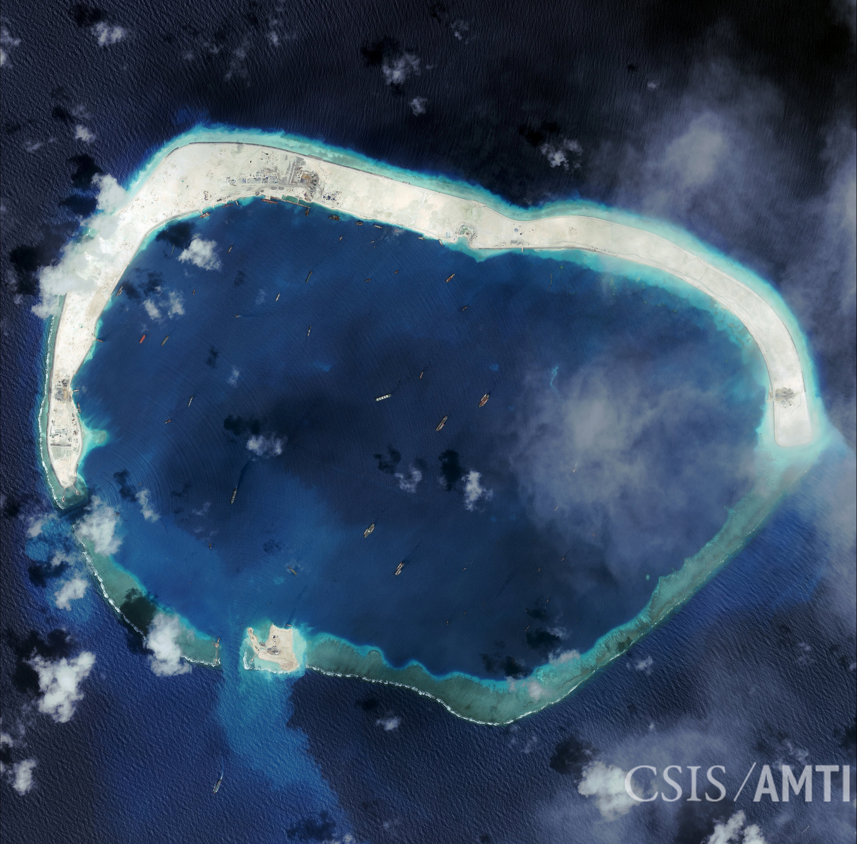
India will set up a satellite tracking and imaging center in southern Vietnam that will give Hanoi access to pictures from Indian Earth-observation satellites that cover the region, including China and the South China Sea, Indian officials said.
The move, which could irritate Beijing, deepens ties between India and Vietnam, who both have long-running territorial disputes with China.
While billed as a civilian facility — Earth-observation satellites have agricultural, scientific and environmental applications — security experts said improved imaging technology meant the pictures could also be used for military purposes.


With your current subscription plan you can comment on stories. However, before writing your first comment, please create a display name in the Profile section of your subscriber account page.